


YellowScan Fly&Drive
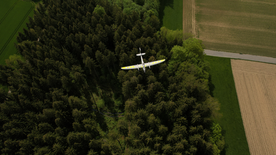
Vuela cuando puedas
Conduce cuando sea necesario

- Multi-purpose mobile (ground) and UAV (airborne) mapping systems
- Precision positioning using high end GNSS and IMU coupled system
- Easy to use, lightweight, and low power consumption
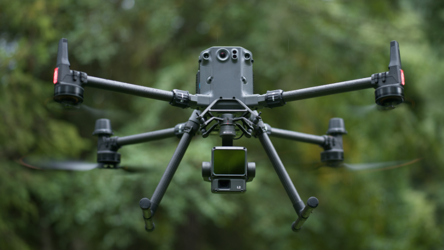
- Compatible with a wide variety of unmanned aerial vehicles (UAVs) and vehicles with roof racks
LiDAR Multifunctional for Geospatial Exploration from Air to Ground
YellowScan Fly&Drive combines the Surveyor Ultra with accessories specifically designed for mobile mapping, offering a unique LiDAR solution for data acquisition from both the air and the ground. By combining high-resolution laser scanning with an advanced GNSS/IMU positioning system, it provides accurately georeferenced point clouds for mapping corridors, utility networks, and infrastructure, helping to maximize the system’s utility and return on investment across a variety of missions.
Key Specifications:
- Rated driving speed: 90 km/h (30 mph)
- System accuracy: 3 cm (1.2″)
- System accuracy: 2.5 cm (1″)
- Maximum range: <200 m (650 ft)

Easy swapping from land vehicle to UAV
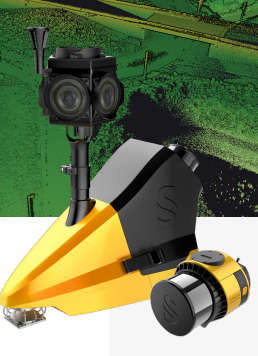
The Fly & Drive car capsule can be mounted on most land vehicles. The specially designed mount allows for quick and seamless switching from the car capsule to any UAV. Thanks to the predefined configurations, you can switch from UAV to mobile mapping in just two clicks.

Choose your Fly & Drive package
Basic: Basic Fly&Drive configuration for mobile mapping workflows using LiDAR.
Color: Includes the Ladybug5+ 360° camera and the TerraPhoto workflow for color mapping.
Complete: Full configuration with Ladybug5+ camera, odometer, and LiveStation for advanced mobile mapping operations.
Designed for a variety of mobile mapping environments
Outdoors: Mobile scanning in open spaces.
Canyon: Optimized for urban areas with more limited GNSS conditions.
Stop and Go: Suitable for situations involving stops, such as at traffic lights.
Tunnels: Designed for areas without GNSS, up to 100 m.
CloudStation Pro for Mobile Mapping
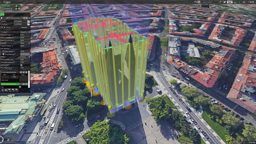
Process Fly&Drive datasets using an optimized mobile mapping workflow with CloudStation Pro and Qinertia. The enhanced strip matching module allows you to set custom constraints to achieve more accurate plane matching and optimized point cloud alignment.
High-density capture from the air or from the ground
Optimized for UAV data collection at various flight speeds and altitudes, as well as for mobile mapping operations at driving speeds of up to 90 km/h.
Accessories and Components
360° Camera Accessory
Teledyne Ladybug5+, with 6 × 5 MP, designed to capture high-resolution spherical images from moving platforms.
Odometer
Peiseler MT Pulse Transducer.
LiveStation Module
Solution for real-time LiDAR monitoring.
Car Pod
Aluminum chassis and aerodynamic fiberglass bodywork.
GNSS Antenna
Survey-grade GNSS L1/L2/L5 antenna.
Mounting Bracket
Mounting system for overhead installation.
YELLOWSCAN CLOUDSTATION PRO
Process mobile mapping data with CloudStation Pro and Qinertia, using advanced tools for point cloud adjustment and alignment.
SPECS
Specifications
| Precision | 3 cm |
| Accuracy | 2.5 cm |
| Maximum driving speed | 90 km/h |
| Type, flight speed |
10 m/s |
| Max. AGL altitude | 140 m |
| Laser Range | Surveyor Ultra: up to 300 m |
| Laser scanner | Surveyor Ultra: Hesai XT32M2X |
| Inertial-GNSS Solution | Surveyor Ultra: SBG Quanta Micro |
| Scanner Field of View | Surveyor Ultra: 360° x 40,3° |
| Echoes per shot | Surveyor Ultra: up to 3 |
| Shots per second | Surveyor Ultra: up to 640 000 |
| Surveyor Ultra: up to 20 Hz | |
| Weight | Surveyor Ultra: 0.98 kg batt. excl. |
| Dimensions | Surveyor Ultra: L 153 x An 113 x Al 117 mm. Airborne: L 160 × W 103 × H 138 mm. Mobile: L 315 × W 573 × H 443 mm |
| Autonomy | Surveyor Ultra: 1.2 hours (typical) |
| Electricity consumption | Surveyor Ultra: 20 W |
| In the box |
1 Rigid backpack, 3.2 kg |