




Drone technology is playing an increasingly important role in the preservation of historical heritage. In Oeiras, HPDRONES participated in a project to create a 3D survey of the Marquês de Pombal Palace, using the DJI Matrice 400 and the DJI Zenmuse P1 to digitally document one of Portugal’s most iconic monuments.
Preserving the Past Through Technological Innovation
The Marquês de Pombal Palace is one of the most representative examples of 18th-century Portuguese Baroque architecture, with Rococo influences. Its historical, cultural, and architectural significance makes the preservation of this heritage a priority.
In this context, Municipia developed a project aimed at beginning the creation of a digital twin of Oeiras’ cultural heritage, starting with a 3D survey of the palace.
HPDRONES participated in this initiative, demonstrating the potential of DJI technology for collecting detailed geospatial information and creating high-precision digital models.
A Demanding Survey of a Historic Monument
Scanning a building with these characteristics presents specific technical challenges. The complexity of the facades, the ornamental elements, and flight restrictions required rigorous planning to ensure complete and safe data collection.
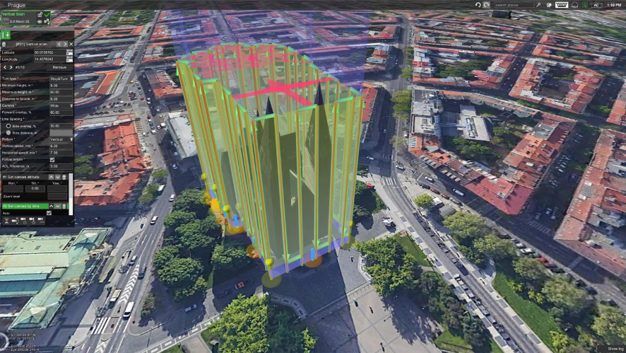
The operation involved a preliminary analysis of the site, verification of airspace restrictions, and the development of an oblique capture strategy, enabling the documentation of hard-to-reach surfaces and architectural details.
Geometric accuracy and texture quality were priorities throughout the entire process, ensuring the fidelity of the three-dimensional representation.
DJI Matrice 400 and DJI Zenmuse P1: Precision in Data Collection
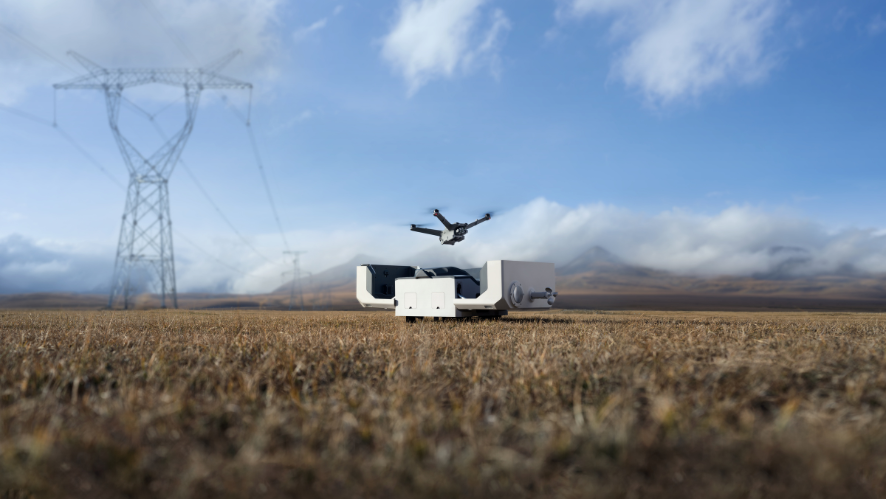
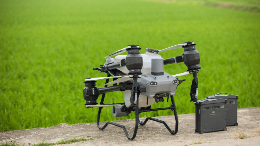
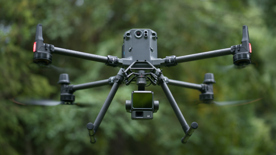
To conduct the survey, the DJI Matrice 400 equipped with the DJI Zenmuse P1 camera was used – a combination designed for professional aerial photogrammetry operations.
Missions were planned using DJI Pilot 2, with flight parameters and capture angles defined to obtain detailed coverage of the monument.
The key metrics of the operation demonstrate the scale of the work performed:
- Surveyed area: approximately 76,000 m²
- Flight distance: approximately 20 km
- Data collection time: 1 hour and 7 minutes
- Images captured: 3,652
The use of RTK positioning techniques and ground control points contributed to the accuracy of the collected data and the geometric consistency of the model.
From Aerial Data Collection to 3D Model Creation
After the field operations were completed, the data was forwarded to the digital processing phase.
Using DJI Terra, the captured images were used to create a three-dimensional reconstruction of the building, allowing for the representation of its geometry, facades, roofs, and architectural elements.
Subsequently, DJI Modify enabled the refinement of the model by correcting imperfections, removing unwanted elements, filling in gaps, and enhancing textures.
This process resulted in a detailed digital representation of the palace, serving as a foundation for technical documentation, heritage analysis, and future interventions.
Technology in the Service of Heritage Preservation
The 3D model resulting from the survey allows for the creation of a digital record of the building’s condition, the identification of areas with the most wear and tear, and support for the planning of maintenance and conservation work.
Centralizing the information in a single model also facilitates data consultation and analysis, contributing to more efficient management of the built heritage.
In addition to digital documentation, the results can serve as the basis for producing three-dimensional physical models, expanding the possibilities for studying and enhancing the monument’s value.
HPDRONES: Technology and Technical Expertise in High-Stakes Projects
This case study highlights the potential of professional drones and photogrammetry tools in documenting historic buildings.
Through its participation in this project, HPDRONES demonstrates the practical application of DJI technology in operations that require specialized planning, precision, and geospatial data processing capabilities.
Learn about the DJI Enterprise solutions available at HPDRONES and discover how drone technology can support surveying, inspection, and 3D documentation projects.
Watch the full case study: https://www.youtube.com/watch?v=aH0d6yAnEA8