




A LiDAR Solution for Two Missions
In surveying, cartography, and infrastructure mapping, not all projects can be carried out in the same way. There are areas where a UAV allows you to work quickly and safely, but there are also locations where operational, regulatory, or physical restrictions make flying less suitable.
To address this reality, YellowScan introduces Fly & Drive with Surveyor Ultra: a solution designed to combine aerial surveying and ground-based mobile mapping with the same LiDAR system.
The main advantage: choosing the data collection method based on the location
The main advantage of the Fly & Drive concept lies in the freedom to adapt the operation to the context of each mission. Instead of deciding in advance that all data will be collected by drone or by vehicle, the team can choose the most appropriate platform for each area of the project, or combine both when necessary.
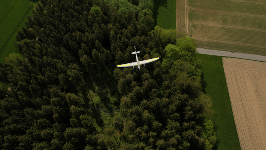
When flying is the best option
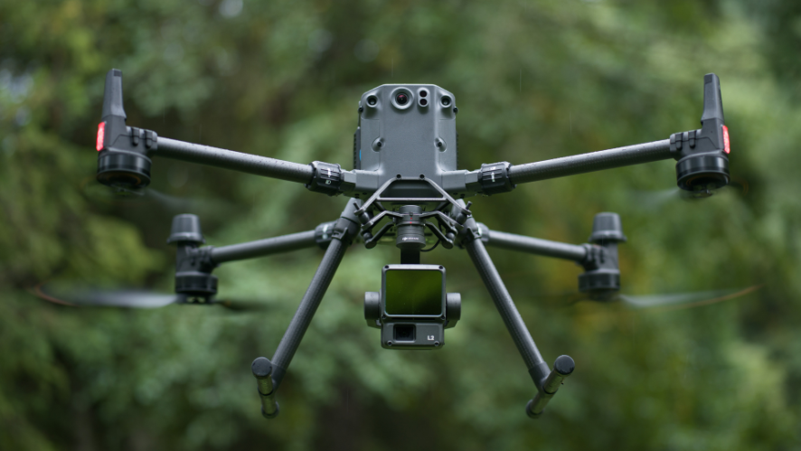
In open areas, hard-to-reach terrain, or surveys where it is important to cover a large area from the air, the aerial configuration allows access to zones where vehicle movement is limited and can reduce data acquisition time. The Surveyor Ultra’s airborne configuration weighs approximately 0.983 kg without the battery and features compact dimensions for installation on a variety of UAVs.
When a Vehicle Is the Best Option
In urban areas, along roadways, in infrastructure corridors, or in locations where aerial operations are restricted by the presence of people, buildings, critical infrastructure, obstacles, or regulations, a vehicle may be the most efficient platform. The mobile configuration weighs approximately 4.98 kg, excluding the battery, and is designed to be mounted on a vehicle with roof racks. The recommended maximum driving speed is 90 km/h, though the actual speed should be adjusted according to the type of mission, the desired point density, and safety conditions.
Thus, Fly & Drive allows productivity to be maintained when the drone cannot fly, proceeding with ground-based data acquisition and supplementing it, when necessary, with aerial data collected at another stage or in another area of the project. The goal is not to replace the drone with the vehicle, but to use each platform at the right time.
This flexibility is particularly relevant for:
- Mapping roads and railways;
- Infrastructure corridors;
- Utility networks and technical assets;
- Surveying urban areas;
- Inspection and documentation of infrastructure;
- Tunnels and other locations with specific operational conditions.
A solution with the potential to increase return on investment
Return on investment depends primarily on the effective use of the system. For surveying and engineering firms, the solution can support surveys, infrastructure projects, engineering data collection, and georeferenced documentation throughout the year. When planning the purchase, it is important to weigh the investment against the number and type of anticipated assignments, as well as the configuration required to carry them out.
Data Processing and Quality
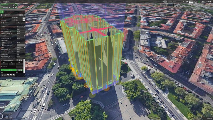
CloudStation Pro includes tools designed for mobile mapping, such as the strip adjustment module and the ability to create custom constraints to achieve a more precise planar adjustment.
The Surveyor Ultra can operate at 300, 600, or 1,200 rpm, allowing you to tailor data acquisition to project requirements. Under post-processing conditions and with no interruptions in the GNSS signal, this solution offers a precision of 3 cm and an accuracy of 2.5 cm.
These values should be interpreted in the context of the actual mission configuration and conditions. Final performance depends, among other factors, on planning, acquisition speed, the environment, GNSS coverage, and the processing method used.
Conclusion: A Solution for Maintaining Productivity on Any Mission
YellowScan Fly & Drive with Surveyor Ultra was developed for companies that need more flexibility in LiDAR data acquisition. By combining a UAV setup with a mobile mapping setup, the solution allows users to adapt their workflow to the terrain and operational conditions.
When the drone can fly, the team benefits from speed and aerial access. When flying isn’t possible or isn’t the most efficient option, the system can continue working from a vehicle.
One LiDAR. Two missions. More opportunities for your company.
Contact us to find out how YellowScan Fly & Drive with Surveyor Ultra can meet the needs of your topography, cartography, and infrastructure mapping projects.